
Measured directly
Electrical potential between plant and soil, node microclimate, time.
Under-canopy plant sensing
VoltreeAI measures electrical signals between living plants and the surrounding soil. We are developing a continuous data platform to add local, plant-level observations to environmental monitoring and risk assessment.
The measurement comes first. Its value for assessing plant water status and fuel moisture is being evaluated.
An illustrative sound, not a field recording. Heartbeat and EKG are metaphors; the sensor measures electrical potential.
Xylem-to-soil potential, intact tree
Where the measurement is taken
Weather stations are usually sited in open clearings, and satellites observe the canopy from above. Both are established and useful. VoltreeAI adds a different vantage point: an electrode pair at a living plant and in the soil beside it, recording the electrical potential between them, continuously and on site.
Measured directly
Electrical potential between plant and soil, node microclimate, time.
Under evaluation
What that potential says about plant water status and fuel moisture.
Not claimed
A general advantage over satellite, weather or manual methods.
Signal chain
Measuring, transmitting and interpreting are separate steps. The measurement itself is established; transmission is in development and interpretation is being evaluated.
Schematic illustration: one electrode in the trunk of a tree and one in the soil are wired to a sensor node on the trunk. The node sends readings by radio to a gateway, which forwards them to a data platform where the plant signal is compared with reference samples and local conditions.

An electrode pair records the potential between the xylem of a living plant and the surrounding soil. The existence of this potential is documented in peer-reviewed research.
Established measurement
Battery-powered nodes forward readings at low power to a gateway and on to the platform. Range, node density and backhaul for large sites are in development.
In development
Readings are compared with reference methods and local conditions. Whether they add useful information on plant water status or fuel moisture is being evaluated.
In evaluation
Potential value
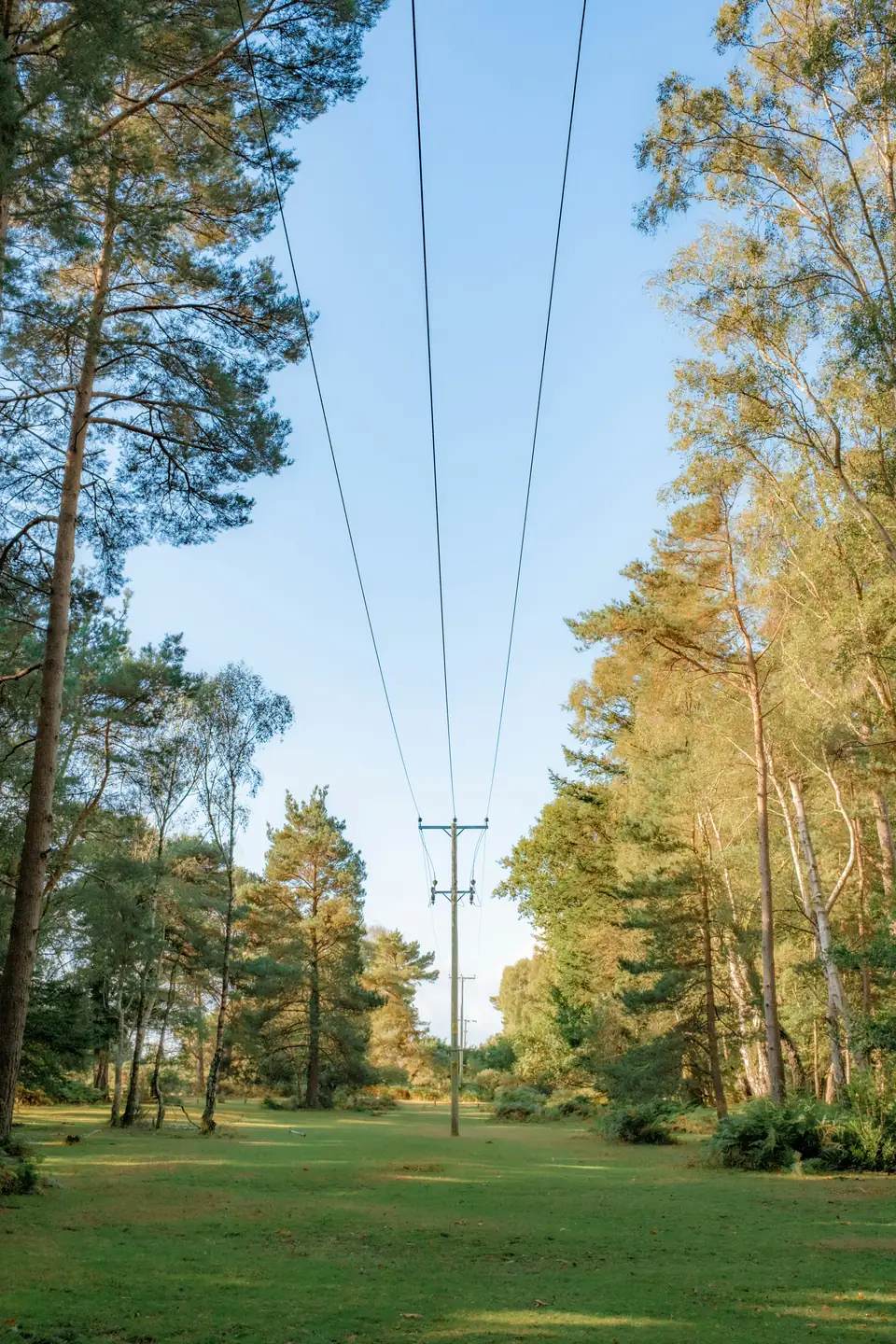
Our proposed first operational audience. Local, continuous observations along power lines could add context to inspection and vegetation-management planning alongside the surveys and models already in use.
Decision it could inform: where to look first along a corridor during a dry period.
Plant-level readings could support vegetation observation and fuel-moisture research in forests and protected areas. The relationship to fuel moisture is under evaluation.
Decision it could inform: which stands deserve closer field sampling.
Potential evaluation and data partners. Whether plant-level data adds information to existing risk models is an open question we would test together, not a claim.
Decision it could inform: whether a new data source is worth including in a risk evaluation.
These are intended uses. Any operational value, including any lead time over existing methods, is an open outcome of validation, not a promised result.
Applications
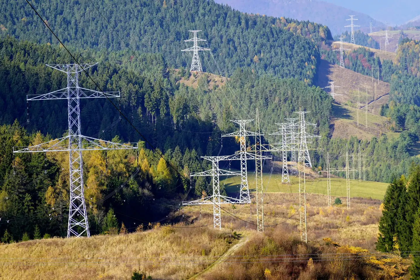 Utility corridorsProposed initial market: local plant data along power lines, as potential support for inspection and vegetation management.
 Natural resource preservationVegetation observation and fuel-moisture research in forests and protected areas.
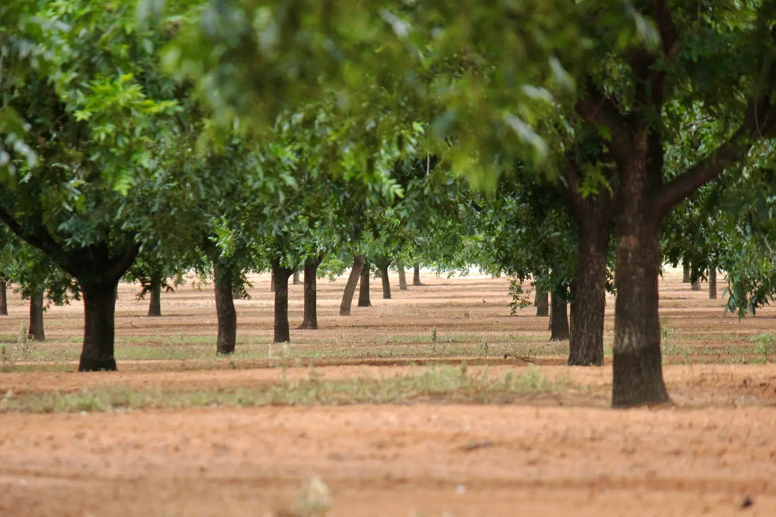 Sustainable agriculturePermanent crops as a later potential use, subject to validation.
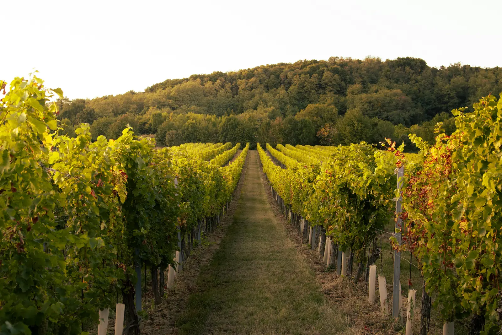 Targeted water usePotential irrigation support once the interpretation is validated.
Evidence
Each claim is graded. The measurement itself is documented; its interpretation for operational decisions is still being tested.
Xylem-to-soil potential of 50-200 mV
Peer reviewed
Under-canopy conditions differ from open-clearing weather readings
Peer reviewed
Voltage change ahead of visible drought stress, controlled study
In evaluation
Correlation of the signal with fuel moisture
In evaluation
Multi-season electrode stability
In evaluation
Incremental information over existing reference methods
In evaluation
Any lead time over conventional monitoring, reported as an open outcome
Open question
Maintenance-free multi-year operation
Target
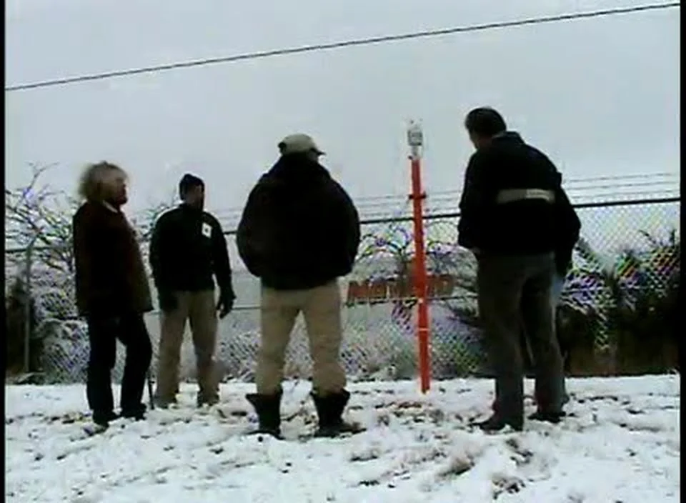
Field deployment, Boise 2009, company footage
Voltree delivered early under-canopy sensor deployments to the USDA Forest Service and the Bureau of Land Management, integrated with Vaisala weather stations at the National Interagency Fire Center in Boise, Idaho. The underlying mechanism was established through sponsored research at MIT and published in PLoS ONE in 2008.
Historical deployments and collaborations. Named organisations are not current endorsements. Both granted US patents expire in 2027.
We are looking for utilities and vegetation managers to host a first pilot with reference sampling, and for research and data partners to evaluate the results with us.