
Applications
One measurement, four fields of application
The sensor does the same thing in every setting: it records the electrical potential between a living plant and the soil it stands in. What changes is the decision that reading could support. We propose to start with utility corridors. Each application needs its own validation before the data is used operationally.
Application 01
Utility corridors
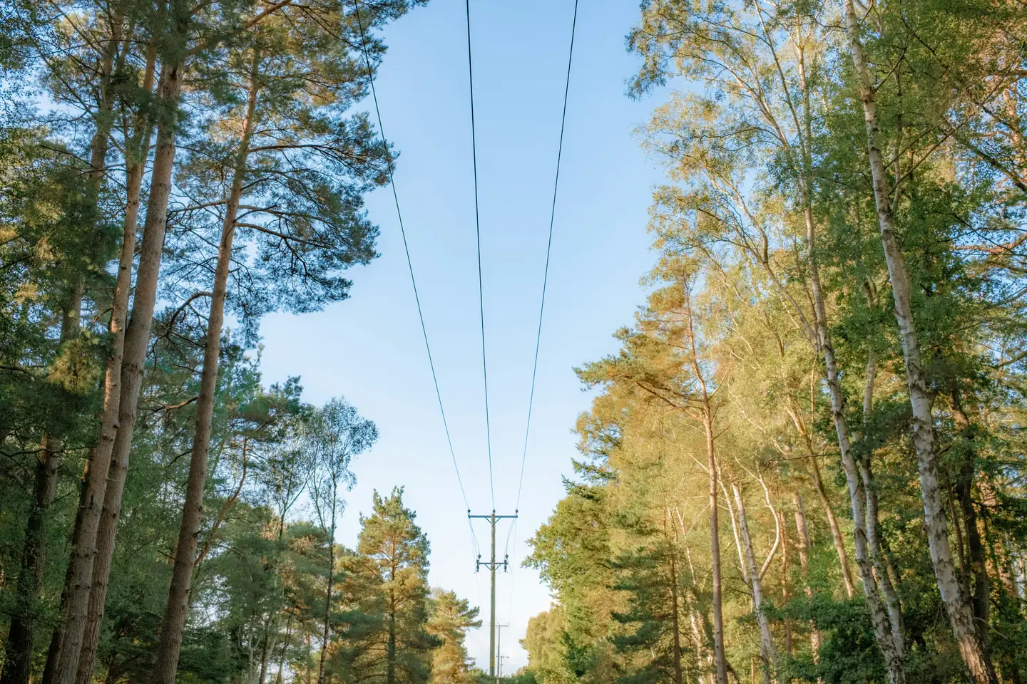
Vegetation condition along power lines matters for reliability and safety, yet local observations between periodic surveys are sparse.
Utilities and vegetation managers are our proposed first operational audience. They plan inspection and vegetation work along thousands of line kilometres from surveys, models and weather data. We want to test whether local, continuous plant data along the corridor adds useful information to that planning. Satellite, aerial and LiDAR surveys show where vegetation is and how it grows; weather stations describe open-ground conditions. A sensor at the plant records something different: the electrical potential between a living stem and the surrounding soil, continuously and at that location. Whether that signal helps rank sections for inspection or indicates changing fuel conditions is what a pilot is designed to find out. It is not yet an established result.
Local plant data at selected points along the corridor
Potential support for inspection and vegetation-management priorities
Pilots run alongside existing surveys and reference sampling
Sites chosen with the operator: stands near the line, varied species and exposure
Readings delivered as time series with node location, alongside the operator's existing survey, model and weather data
Results reported against reference measurements, including where the plant signal added nothing
Proposed initial market

Application 02
Natural resource preservation
Conditions under a closed canopy can differ from those recorded in a clearing, and manual fuel sampling is accurate but intermittent.
Forests and protected areas are observed mostly from above and from open-ground weather stations. Plant-level readings under the canopy could support vegetation observation and fuel-moisture research. Disease and pest detection are possible later research topics, not current capabilities.
Continuous readings from beneath the canopy
Comparison with gravimetric fuel-moisture sampling
Relationship to fuel moisture under evaluation
Research
Application 03
Sustainable agriculture
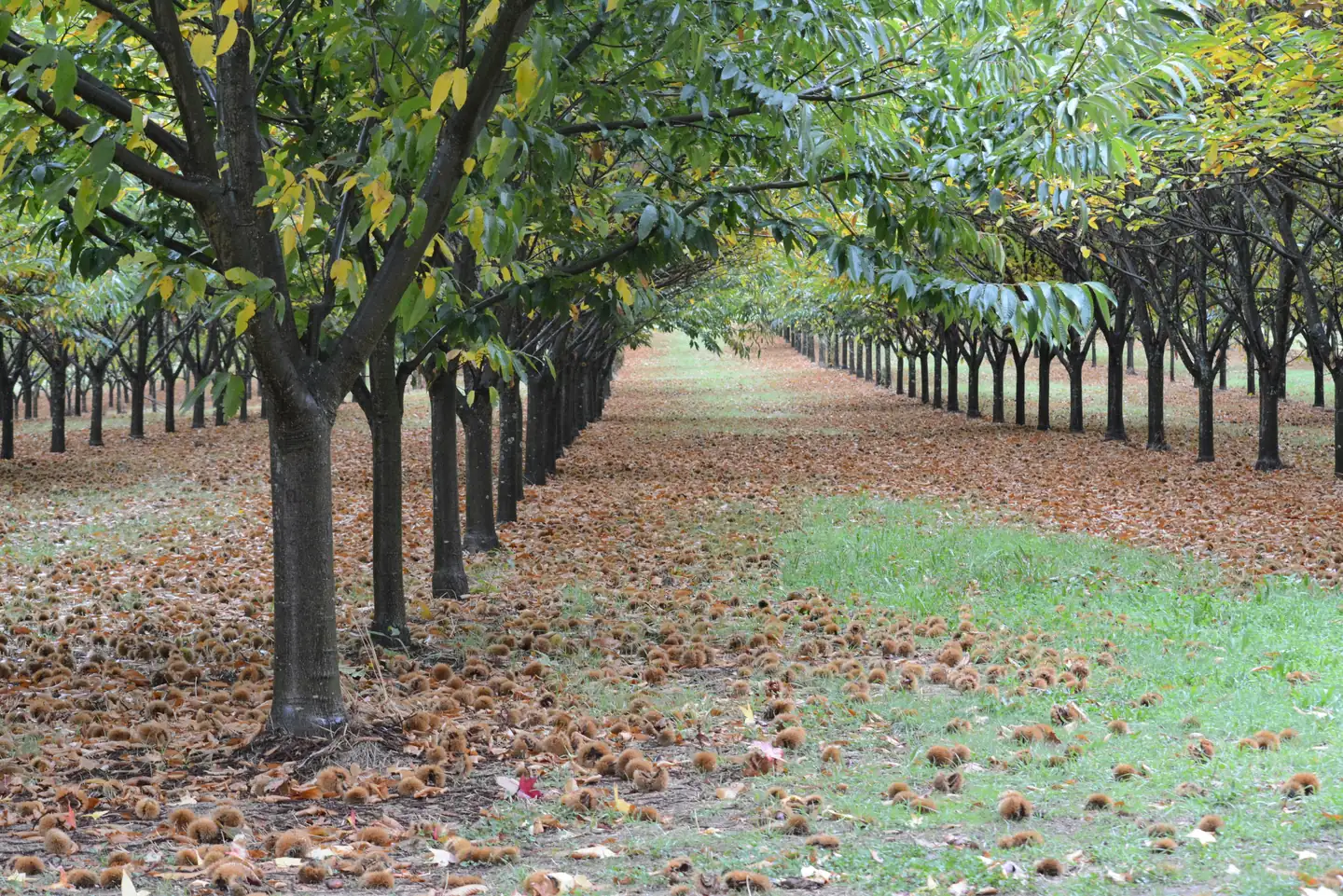
Permanent crops represent years of investment, and growers already combine soil probes, weather data and plant measurements such as the pressure chamber.
Orchards, vineyards and other permanent crops are a later potential use rather than our initial market. We make no claim of yield gains; any agricultural value depends on validation in the crop concerned.
A plant-level signal alongside existing agronomic data
Validation against stem water potential in the crop concerned
No demonstrated yield effect
Water stress in tree and nut crops
Later potential use
Application 04
Targeted water use
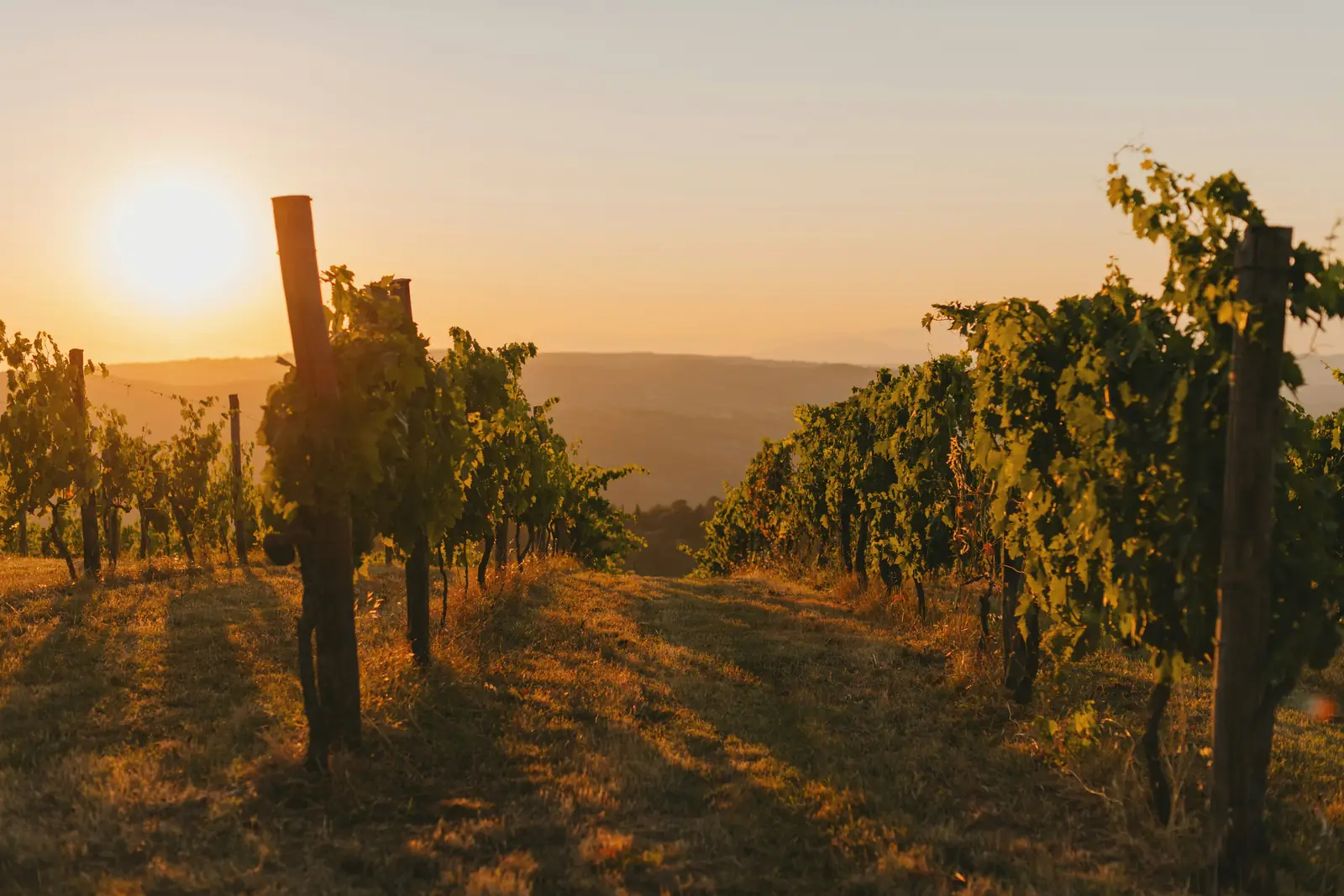
Irrigation is usually scheduled from soil moisture, weather and experience rather than from a continuous reading taken at the plant.
If the interpretation of the signal is validated, plant-level data could support irrigation decisions. Automatic irrigation control would additionally require suitable integration with smart-irrigation systems. No such integration exists today.
Potential decision support for irrigation
Requires a validated interpretation of the signal first
Automatic control would need a smart-irrigation integration that does not yet exist
Potential use
Host a first pilot
Every application on this page needs deployments alongside reference sampling before the data can be relied on. We propose to start with a utility corridor. If you manage one, we will bring the hardware and agree the comparison method with you in advance.
Discuss a utility corridor pilot
Utilities, land managers, research and data partners reach us through the same form.