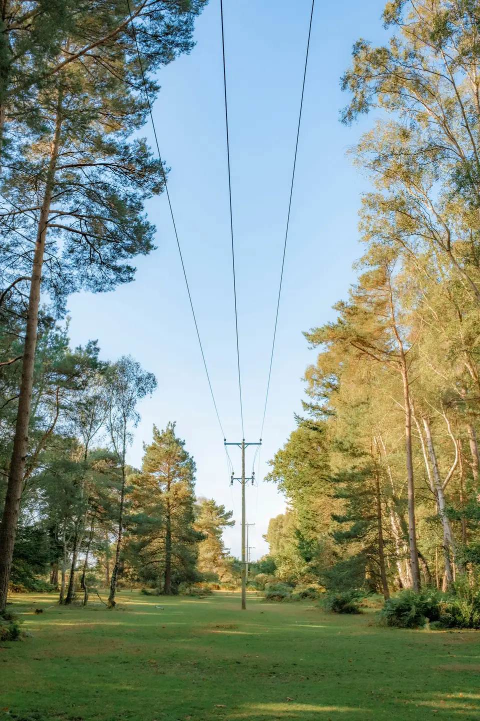
Under-canopy measurement
The forest sends a signal.We read it at the root.
Weather stations sit in clearings. Fires start under the canopy. VoltreeAI places sensors where the fuel actually is, and reads the electrical potential a living tree maintains against the soil around it.
The measurement gap
Fire danger is modelled from weather. The fuel is never measured.
50–200mV
Measured xylem-to-soil potential
2
Granted US patents
2008
Mechanism published in PLoS ONE
2009
First under-canopy federal deployment
National fire danger rating estimates fuel moisture from weather observations recorded in open clearings. Beneath the canopy, temperature, humidity and soil conditions diverge from those readings, and that is where ignition happens. VoltreeAI measures in place, continuously, from a sensor that sits at the root.
Pine stand, sensor node at the root collar
Method
Three steps, from root to readout
Measure. An electrode pair records the potential between the xylem of a living tree and the surrounding soil. Published research attributes this potential to the pH difference between the tree and its soil.
Transmit. Low-power radio carries readings node to node until they reach a gateway. Nodes are designed to sit under the canopy, where satellite and camera systems cannot see.
Interpret. Readings are processed against reference measurements and local conditions, and delivered through an API alongside threshold alerts.
Where it is applied
One sensor platform, four operating environments
Wildland urban interfaceContinuous under-canopy readings where housing meets forest.
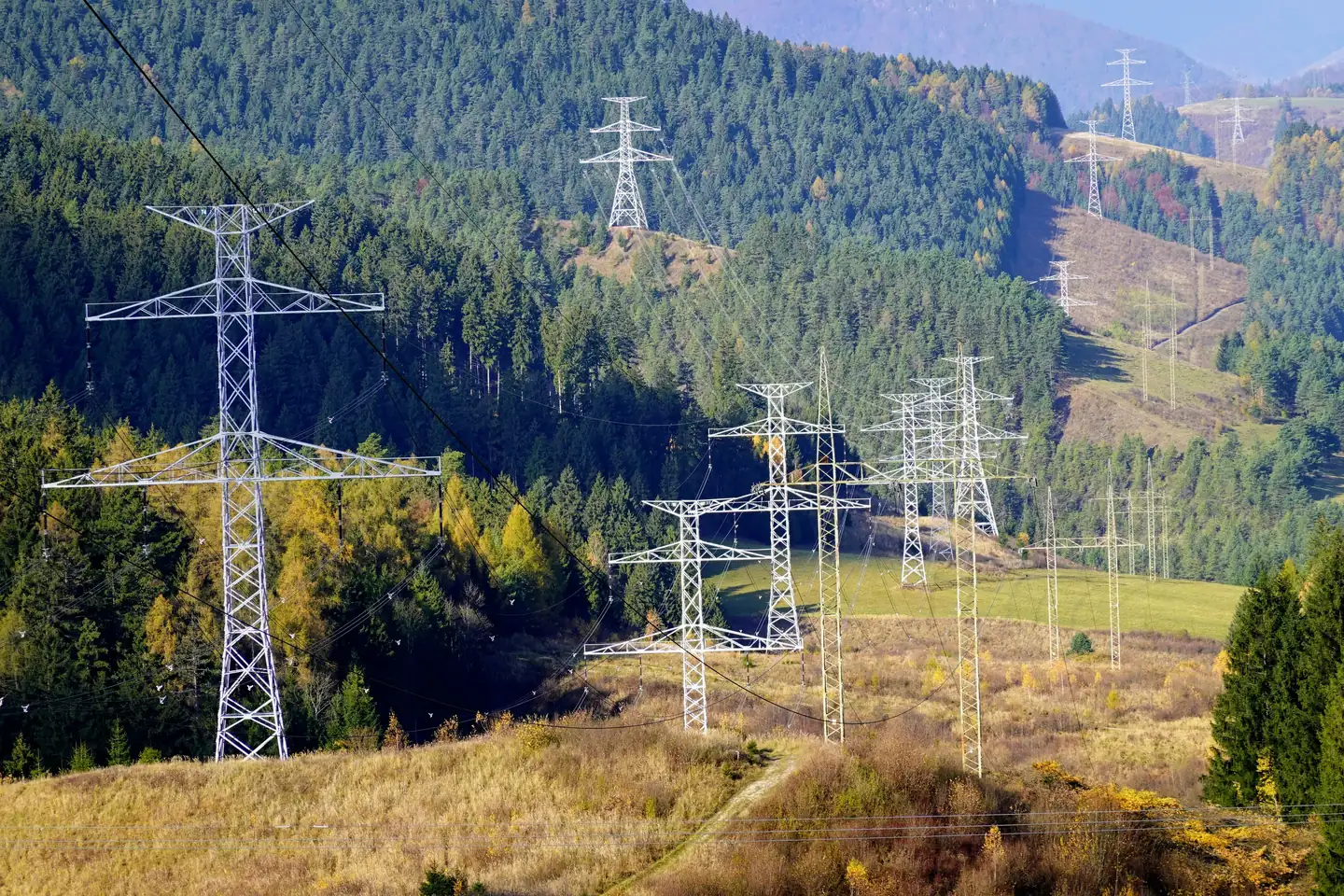
Utility corridorsVegetation condition along transmission and distribution lines.
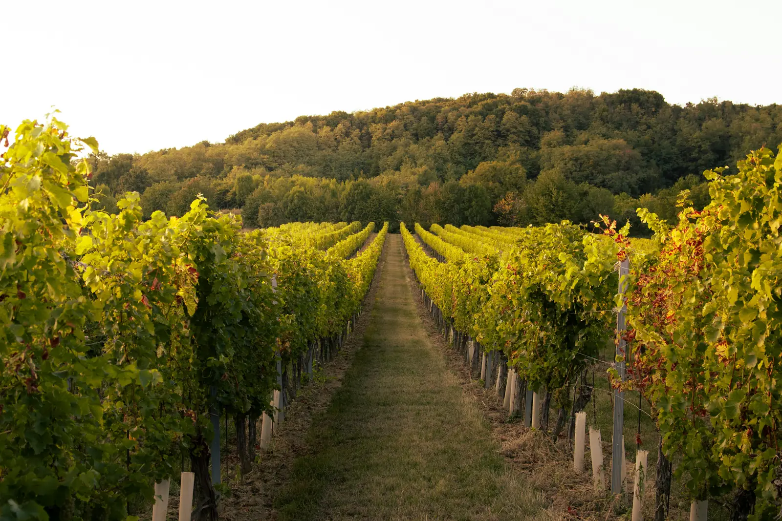
ViticultureVine water status across a block, measured rather than inferred.
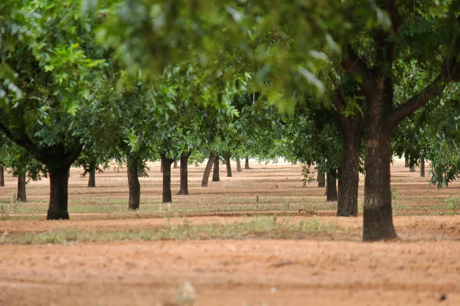
Orchards and nutsIrrigation decisions grounded in the condition of the tree itself.Track record
Field deployments with US federal agencies since 2009
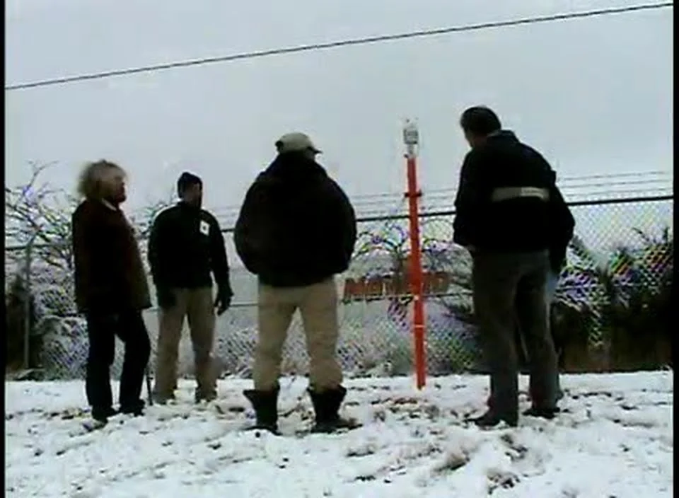
Voltree delivered the first under-canopy sensor deployments to the USDA Forest Service and the Bureau of Land Management, integrated with Vaisala weather stations at the National Interagency Fire Center in Boise, Idaho. The underlying science was established through sponsored research at MIT and published in PLoS ONE in 2008.
Historical deployments and collaborations. Named organisations are not current endorsements.
Measuring where the fire starts
We are working with utilities, land managers and growers on field deployments. If under-canopy data would change a decision you make, we should talk.